OUR SERVICE
Mining
With a precision of 10 square meters, we are able to detect 95% of most natural and mineral resources in a particular area.


Our technology
Quantum Spectral Intelligence Services
We use the thermodynamic information captured by electromagnetic sensors (satellites, Atmospheric Balloons, Drones, Cameras, Radar, MEMS, NEMS) to classify and quantify the presence, identity, and properties of materials with quantum-enabled artificial intelligence for scale and speed


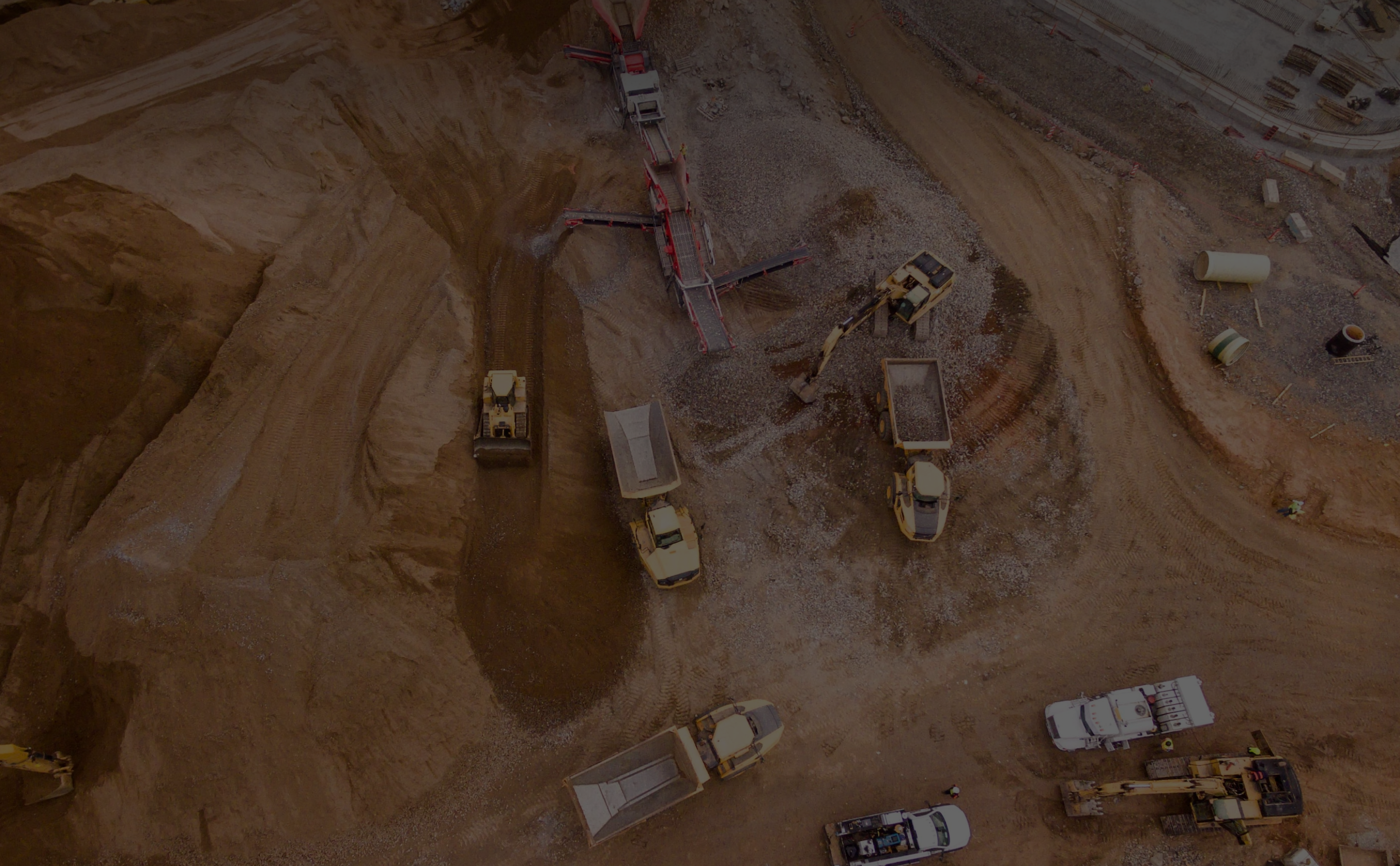
Mining
General Mining Process
Prospecting and Exploration
Extraction
Clean it up
Development
Closure/Reclamation
Mining
The Validation Process
The Validation Process for Our Mining Technology
1. Select Mine
Access to a mine that had a Preliminary study carried out by the National Geological Service (Mexico) Access to a mine that had a Magnetometry Study carried out by the National Geological Service (Mexico)
|
|
|
2. Geologist with Geospatial Experience
Our expert geologist is the only person to see the reports, to do the blind validation Geologist analyze what type of deposit and request the minerals associated with the target mineral and those that have been statistically found in the area
|
|
|
3. Cybertiks
Using our technology, we generate the map with the probability of finding each mineral that contains or accompanies the requested metal (eg. gold), looking for the associated hydrothermal alterations with a resolution of 100m2 Separately we can do a Magnetometry study with a resolution of 4m2
|
|
|
4. Geologist with Geospatial Experience
Our expert compared all the data, to confirm or deny if the same parameters are obtained. The data resulted in being valid As an expert in conducting mining studies for the National Geological Service and UNAM. We asked if she would sign a study prepared with Our Technology and the answer was YES
|
|
|
5. Geologist + Cybertiks
Compare validated results to other studies. Design work process. Design deliverables combined with geological studies plus elevation maps. Search for other studies that can be carried out with our technology
Mining
What can we measure?
Our strategic model and expert knowledge allow us to provide tailored solutions for each of our clients.
For the environment in soil and water
Minerals using hydrothermal alterations
Minerals using Magnetometry
Cybertiks
Comparison
The table below is a comparison of traditional and cybertick usage


There is no geographical limitation
There is no access limitation
No permission or physical visit required
Traditional
Permission is required
The complexity of access for people.
Limited by areas
To use a drone or plane permission is required.
Cybertiks
Value Proposition
The table below is a value proposition of mining on Cybertiks


Reduce the exploration time (3 to 6 months Pre-Study)

Confirmation of the minerals in weeks without a visit

Monitor the Environmental impact during the whole Process

Provide the location and estimated drilling samples needed. The traditional method offer between 15% to a top of 30% by try and error. We offer an 80% accuracy; you drill-less to get the samples required.

Information reliable to decide to invest or not, to compare what are they offering with the real information, without leaving your office
OUR TECHNOLOGY
Mining Solutions
Mineral mapping using hydrothermalalterations
Mapping minerals using magnetometry
Drilling Grid
Other mining-related services
Environmental Solutions
Monitoring
MINING
Environmental Solutions
Environmental Solutions for mining

Periodic Monitoring
We can monitor preiodically for environmental waste

Monitoring with legislations
We can comply with legislation.

Soil Analysis
We can do an overall evaluation on nearby soils for contaminants.

Water Analysis
We can measure different metrics to determine if the water is contaminated.
Our PRODUCT
Our Process
Our strategic model and expert knowledge allow us to provide tailored solutions for each of our clients.
Sweeping of the entire mine and surroundings.
Preliminary geological study without physical samples. (Hydrothermal alterations)
Drilling grids. 85% accuracy
Magnetometry Study.
Environmental. Water quality and Soil contamination
Monitor earthworks by volume